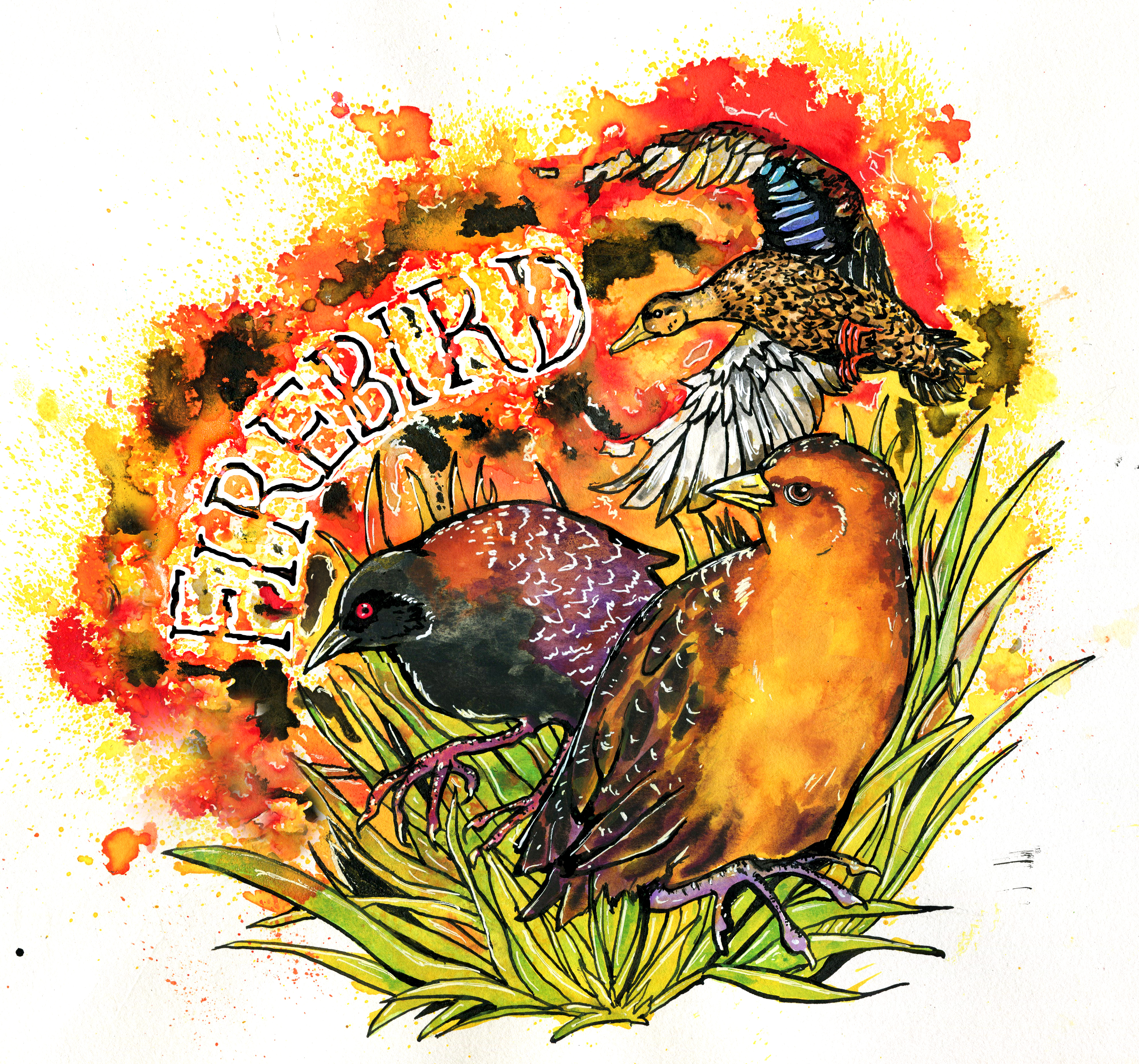
New Publication – Burning For Birds: A Manual for the Application of Prescribed Fire in High Marshes on the Northern Gulf Coast
We’re pleased to share our prescribed fire manual which takes the results from our project to date and puts them into actionable recommendations for fire managers.
We hosted a webinar on January 15th to kick off sharing the manual, you can watch the recording here.
Cox, J.A., E.A. Beilke, A.M.V. Fournier, E.I. Johnson, K.S. Kalasz, C.S. Kross, B.D. Lamb, J.D. Lancaster, H.E. Levy, L.F. Monopoli, J.A. Nyman, J.K. Wilson, and M.S. Woodrey. 2025. Burning for birds: A manual for the application of prescribed fire in high marshes of the northern Gulf coast. Illinois Natural History Survey Special Publication 33
Variation in Detection Distance of Eastern Black Rail (Laterallus jamaicensis jamaicensis) Vocalizations by Autonomous Recording Units
The FireBird team has published a new paper on the use of autonomous recording units for detecting eastern black rail (Laterallus jamaicensis jamaicensis) vocalizations. The paper, titled “Variation in Detection Distance of Eastern Black Rail (Laterallus jamaicensis jamaicensis) Vocalizations by Autonomous Recording Units”, was published in the journal Waterbirds. This study comes as the first in a series of Automated Recording Unit related publications from the FireBird team and primarily investigated the detection distance capabilities of various ARU models under a range of environmental conditions. The goal of this work was to provide monitoring recommendations for optimizing Eastern Black Rail detection by maximizing the probability of detection under specific sets of monitoring circumstances that are likely to occur in habitats occupied by Black Rails across the northern Gulf Coast of the U.S. Specifically, we compared Wildlife Acoustics’ Song Meters 2, 3, and 4 in four vegetation types used by Eastern Black Rails: cordgrass, salt pannes, black needlerush, and a mix of cordgrass and woody shrubs. Vocalizations were simulated using a call broadcast speaker at set decibel levels from known distances from Automated Recording Unit arrays. Using these data, we used linear regression to determine the effects of Automated Recording Unit model, microphone wind mufflers, call volume, vocalization type, vegetation type, and environmental conditions (i.e., wind speed, wind direction, temperature, background noise, and relative humidity) on detection probability.
Ultimately, we found that detection distances were increased when using newer ARU models. Detection probability was also greatest in salt pannes and lowest in cordgrass, and faster wind speeds further decreased detection probability in cordgrass relative to other vegetation types. Kickeedo vocalizations were detected over farther distances than other vocalizations and higher call volume significantly increased detection probability. Detection probability was also increased by higher relative humidity but was decreased by louder background noise as well as winds blowing perpendicular between the ARU array and call playback speaker.
Although vocalizations in this study were not from wild birds, this work will provide some general guidelines for improving Eastern Black Rail surveys using Automated Recording Units. By deploying Automated Recording Unit arrays following our results, biologists will improve the likelihood of detecting birds in the habitat they are surveying while reducing the staff time and associated cost of traditional in-person survey methods.
Lamb, BD, Levy, HE, Beilke, EA, Kross, CS, Kappes, PJ, Sukkienik, MJ, Cox, JA, Wilson, JK, Woodrow, JO, Butler, MJ, Zenzal, TJ, Fournier, AMV, Woodrey, MS. In Review Variation in Detection Distance of Eastern Black Rail (Laterallus jamaicensis jamaicensis) Vocalizations by Autonomous Recording Units Waterbirds 48:1-13 10.1675/063.048.0206
Winter 24-25 Newsletter
March – September 2024 Newsletter
Sept 2023 – Feb 2024 Newsletter
Check out the newest issue of our newsletter!
Mapping High Marsh and Salt Pannes/Flats along the northern Gulf of Mexico coast
A new paper from the Firebird High Marsh Mapping Team titled, “Mapping high marsh and salt pannes/flats along the northern Gulf of Mexico coast” has been published in Geocarto International. The primary objective of this study was to develop a regional map of high marsh and salt pannes/flats for the United States portion of the northern Gulf of Mexico coast. While this work can address many needs, the key motivation for producing the high marsh map was to serve as a baseline for our avian-focused monitoring and research effort funded by NOAA. Our approach used regional random forest models that included spectral indices related to greenness and wetness from optical satellite imagery, elevation data, irregularly flooded wetland probability information from a prior FireBird study (Enwright et al., 2023a), and synthetic aperture radar backscatter. As part of the mapping study, we also developed a map that highlighted irregularly flooded wetlands dominated by Juncus roemerianus (black needlerush) for part of the study area. Both maps had an overall accuracy of around 80%. We found the greatest relative coverage of high marsh along the Texas coast (30% to 65%) and the Florida Panhandle (40%), whereas the greatest relative coverage of salt pannes/flats was along the lower Texas coast (74%) and the middle Texas coast (15%). Data from the FireBird high marsh mapping efforts can be found on USGS ScienceBase (Enwright et al., 2022) and on an online webmap via ArcGIS Online.

What do the results mean?
Maps depicting high marsh and salt pannes/flats can serve as a baseline of contemporary wetland coverage and regional variation. It is important to develop efficient and repeatable methods, such as those used in our study, for developing maps of coastal wetland types over time because coastal wetlands are predicted to undergo widespread transformation due to climate change. Coastal inundation is estimated to increase over the next several decades with accelerated sea-level rise (Sweet et al. 2022). Increased inundation is predicted to lead to the upslope migration of these irregularly flooded wetlands (Pitchford et al. 2022) or lead to localized loss in areas that cannot keep pace with sea-level change via vertical accretion (Saintilan et al. 2022). Mapping these ecosystems at regular intervals can help highlight changes to these important environments. In addition to baseline information, high marsh and salt pannes/flats maps can have numerous applications including: (1) developing new wetland research sites or monitoring sites; (2) identifying new sites for marsh bird monitoring; (3) highlighting areas for detailed assessments of high marsh, such as the exploration of biomass or microtopography; and (4) increasing our understanding and ability to model the distribution of high marsh-dependent species.

Take Home Message
This is the first map of high marsh and salt pannes/flats that spans the entire northern Gulf of Mexico. Our effort found that irregularly flooded wetland probability, synthetic aperture radar backscatter, and spectral indices related to greenness and wetness were important predictor variables and that differences in wetland zonation and species composition along the study area led to variation in models by region. This map provides a baseline for the current high marsh and salt panne/flat distribution and a snapshot to compare to future wetland distribution to identify where climate change-related wetland transformations are occurring.
Corresponding Author and Link to the Article
Nicholas Enwright, U.S. Geological Survey, Wetland and Aquatic Research Center enwrightn@usgs.gov
Enwright, NM, WC Cheney, KO Evans, HR Thurman, MS Woodrey, AMV Fournier, JA Moon, HE Levy, JA Cox, PJ Kappes, JA Nyman, & JL Pitchford. 2023. Mapping high marsh and salt pannes/flats along the northern Gulf of Mexico coast. Geocarto International 38:1 DOI: 10.1080/10106049.2023.2285354
Literature Cited
Enwright, NM, WC Cheney, KO Evans, HR Thurman, MS Woodrey, AMV Fournier, DB Gesch, JL Pitchford, JM Stoker, and SC Medeiros. 2023a. Elevation-based probabilistic mapping of irregularly flooded wetlands along the northern Gulf of Mexico coast. Remote Sensing of Environment, v 287, 113451, https://doi.org/10.1016/j.rse.2023.113451.
Enwright, NM, WC Cheney, KO Evans, HR Thurman, MS Woodrey, AMV Fournier, A Bauer, J Cox, S Goehring, H Hill, K Hondrick, P Kappes, H Levy, J Moon, JA Nyman, J Pitchford, D Storey, M Sukiennik, and J Wilson. 2022. Mapping irregularly flooded wetlands, high marsh, and salt pannes/flats along the northern Gulf of Mexico coast: U.S. Geological Survey data release (ver. 2.0, June 2023), https://doi.org/10.5066/P9MLO26U.
Enwright, NM, WC Cheney, KO Evans, HR Thurman, MS Woodrey, AMV Fournier, JA Moon, HE Levy, JA Cox, PJ Kappes, JA Nyman, and JL Pitchford. 2023b. Mapping high marsh and salt pannes/flats along the northern Gulf of Mexico coast: Geocarto International, v 38, 2285354, https://doi.org/10.1080/10106049.2023.2285354.
Pitchford JL, K Cressman, JA Cherry, BT Russell, J McIlwain, MJ Archer, and WV Underwood. 2022. Trends in surface elevation and accretion in a retrograding delta in coastal Mississippi, USA from 2012–2016. Wetlands Ecology and Management, 30(3), 461–475, https://doi.org/10.1007/s11273-022-09871-7.
Saintilan N, KE Kovalenko, G Guntenspergen, K Rogers, JC Lynch, DR Cahoon, CE Lovelock, DA Friess, E Ashe, KW Krauss, N Cormier, T Spencer, J Adams, J Raw, C Ibanez, F Scarton, S Temmerman, P Meire, T Maris, K Thorne, J Brazner, GL Chmura, T Bowron, VP Gamage, K Cressman, C Endris, C Marconi, P Marcum, K St. Laurent, W Reay, KB Raposa, JA Garwood, and N Khan. 2022. Constraints on the adjustment of tidal marshes to accelerating sea level rise. Science, v 377(6605), 523–527, https:/doi.org/10.1126/science.abo7872.
Sweet WV, BD Hamlington, RE Kopp, CP Weaver, PL Barnard, D Bekaert, W Brooks, M Craghan, G Dusek, and T Frederikse. 2022. Global and Regional Sea Level Rise Scenarios for the United States: updated Mean Projections and Extreme Water Level Probabilities Along U.S. Coastlines. Technical Report NOS 01. Silver Spring, MD: National Oceanic and Atmospheric Administration, National Ocean Service, NOAA.
Summer 2023 Newsletter
Check out the newest issue of our newsletter providing updates from the summer 2023 field season and other cool things!
Recording of Climate Webinar
On September 6th Chelsea Kross led a webinar for end users that covers our climate work, and included a panel discussion with team members with expertise across the Gulf of Mexico geography. A recording is available here.
New Method for Quickly Identifying Uncertainties in Managing Threatened and Endangered Species
A new paper from the Firebird Adaptive Management team titled, “Qualitative value of information provides a transparent and repeatable method for identifying critical uncertainty” has been published in the June issue of Ecological Applications. The use of structured decision making (SDM) in ecological research and conservation is growing, especially adaptive resource management (ARM), which aims to iteratively improve management actions by carefully developing, monitoring, and assessing each potential management action. However, the use of ARM is difficult when data are sparse or are unavailable, which is often the case when working with threatened and endangered species. Many of the techniques used in ARM require large amounts of data to complete specific analyses, such as the Expected Value of Information. As a result alternatives are needed to quickly identify critical areas of uncertainty surrounding the management of TES. The authors propose the use of a Qualitative Value of Information (QVoI) as a tool to speed-up the decision-making process. THE QVoI “is a stepwise process that includes articulating and scoring alternative hypotheses, calculating QVol, and comparing QVoI against the expected reducibility of uncertainty for each hypothesis (Stantial et al. 2023).”
The QVoI method still relies on the PrOACT framework (i.e. Problem Framing, Objectives, Alternatives, Consequences, Trade-offs) standard to structured decision making, but combines aspects of the Alternatives, Consequences, and Trade-offs components.

The listing of the Black Rail (Laterallus jamaicensis) to the USFWS ESA threatened list (USFWS 2021), provided an excellent opportunity to test the QVoI method during a decision prototyping workshop to identify uncertainties around the use of prescribed fire in managing populations of Black Rail, Yellow Rail, and Mottled Ducks along the Northern Coast of the Gulf of Mexico. The authors conducted a 2.5 day workshop where 21 experts were placed into 1 of 3 smaller breakout groups to develop a problem statement and objectives hierarchy addressing the potential impacts of prescribed fire on the target species. During each step of the problem statement and objective development all participants were brought together to discuss their group’s decisions. Once the problem statement and objectives hierarchies were agreed upon, each small group developed a conceptual model, or influence diagram, to visually represent the relationships between alternative management methods and their effects on species occupancy or abundance.

During this period, participants used the diagram to identify key areas of uncertainty between the management actions (i.e. prescribed fire) and its outcome (i.e. species occupancy). These areas of uncertainty served as potential research questions that need to be addressed for the conservation of the species. Each group then developed 3-4 testable alternative hypotheses based on their respective influence diagram and presented their hypotheses to the larger group. The list of hypotheses was modified to include a paired null hypothesis for each alternative hypothesis, and used for the QVoI analysis.
“The QVoI analysis requires a standardized rubric to evaluate each source of uncertainty (as represented by the null and alternative hypotheses) based on three attributes: the Magnitude of uncertainty (Magnitude), the Relevance to decision-making (Relevance), and the degree to which uncertainty could be reduced through research and monitoring (Reducibility).” The developed hypotheses were scored based on each of the three attributes using a likert scale metric. Magnitude was scored from 0 to 4, where 0 represented low uncertainty and 4 represented high uncertainty; Relevance was scored from 0 to 3, where 0 meant uncertainty did not affect the choice of management action and 3 meant uncertainty had a large effect on the choice of management action; Reducibility was scored from a 0 to 3 scale, where 0 represented a high difficulty to resolve uncertainty between the paired hypotheses and 3 represented a low difficulty to resolve uncertainty between the null and alternative hypotheses.”

QVoI attributes of each hypothesis pair were then identified through the combination of training, group discussion, and independent scoring by the group of experts. QVoI was scored as the product of Magnitude and Relevance. Average QVoI scores were then plotted with their respective Reducability scores and assigned to 1 of 4 priority groups. Priority groups were based on the average minimum and maximum QVoI and Reducability scores. QVoI estimates identified hypothesis 8, which hypothesized the effects of fire return interval (i.e. how frequently a habitat was burned) as the optimal hypothesis for reducing uncertainty in prescribed fire management effects on black rail, yellow rail, and mottled ducks.

Based on the QVoI values, the authors were able to rank which hypotheses would reduce the most uncertainty around the management of the species of interest. In other words, the hypothesis associated with the highest value provides the best value for conservation dollars spent if successfully answered. The advantage to the QVoI method over more traditional SDM methods is that the cost-to-benefit ratio for different areas of uncertainty can be identified early during the decision-making process.
What do these results mean?
The conservation of threatened and endangered species requires quick response, often with very little data. The authors were able to bring together a large group of experts in black rail, yellow rail, and mottled duck biology, prescribed fire science, and coastal ecology to generate conceptual models and alternative hypotheses to identify areas of critical uncertainty surrounding the management of waterbird populations using prescribed fire. Using QVoI, the authors identified an optimal hypothesis to design an experimental study to reduce uncertainty and were able to do so quickly.
Take Home Message
The Qualitative Value of Information method is an effective tool for identifying uncertainty in management actions in a timely and efficient manner.
Author Contact and Link to Article
Dr. Michelle Stantial
michelle_stantial@nps.gov
Stantial, ML, AJ Lawson, AMV Fournier, PJ Kappes, CS Kross, MC Runge, MS Woodrey, and JE Lyons. 2023. Qualitative value of information provides a transparent and repeatable method for identifying critical uncertainty. Ecological Applications https://doi.org/10.1002/eap.2824
