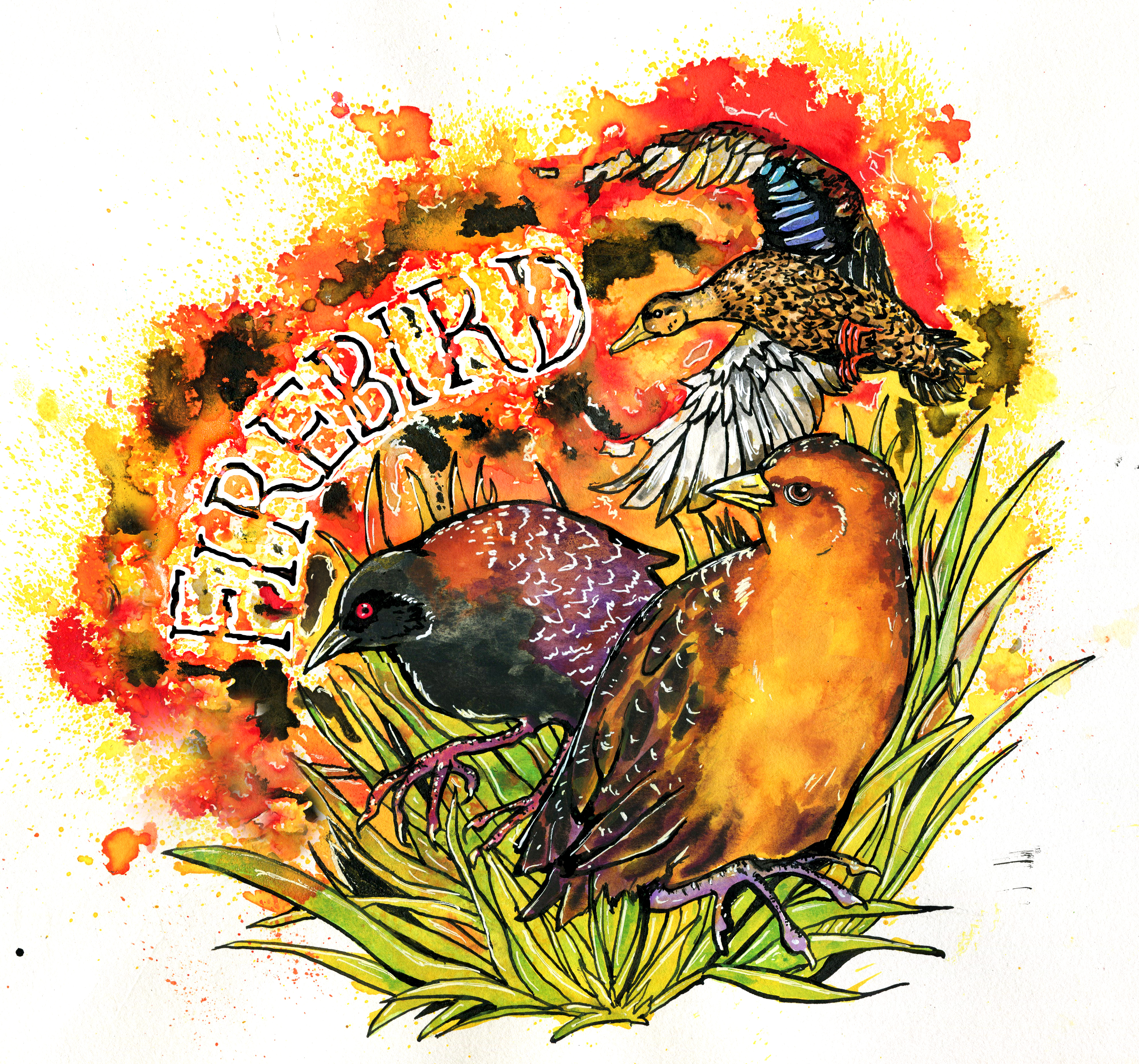
Fire Effects in Gulf of Mexico Marshes – Historical Perspectives, Management, and Monitoring of Mottled Ducks and Black and Yellow Rails
Follow Our Project
Get new content delivered directly to your inbox.
Check out all of our Blog posts by clicking the specific link below or visit our blog feed
Firebird 2 field work is starting shortly!
We’re excited to share we’ve received five years of funding from the NOAA RESTORE Science program to continue our work. From 2026-2029 we’ll be continuing field work to survey for breeding season Eastern Black Rails and Mottled Ducks, as well as the structure of the high marsh vegetation. This work will take place in Texas,…
SE Fire Exchange Webinar Recording
On April 10th Auriel Fournier gave a webinar for the SE Fire Exchange about Burning for Birds, the Firebird project’s prescribed fire manual. You can watch a recording of the webinar on the SE Fire Exchange Youtube Channel.
New Publication – Burning For Birds: A Manual for the Application of Prescribed Fire in High Marshes on the Northern Gulf Coast
We’re pleased to share our prescribed fire manual which takes the results from our project to date and puts them into actionable recommendations for fire managers. We hosted a webinar on January 15th to kick off sharing the manual, you can watch the recording here. Cox, J.A., E.A. Beilke, A.M.V. Fournier, E.I. Johnson, K.S. Kalasz,…
Variation in Detection Distance of Eastern Black Rail (Laterallus jamaicensis jamaicensis) Vocalizations by Autonomous Recording Units
The FireBird team has published a new paper on the use of autonomous recording units for detecting eastern black rail (Laterallus jamaicensis jamaicensis) vocalizations. The paper, titled “Variation in Detection Distance of Eastern Black Rail (Laterallus jamaicensis jamaicensis) Vocalizations by Autonomous Recording Units”, was published in the journal Waterbirds. This study comes as the first…
Mapping High Marsh and Salt Pannes/Flats along the northern Gulf of Mexico coast
A new paper from the Firebird High Marsh Mapping Team titled, “Mapping high marsh and salt pannes/flats along the northern Gulf of Mexico coast” has been published in Geocarto International. The primary objective of this study was to develop a regional map of high marsh and salt pannes/flats for the United States portion of the…
Summer 2023 Newsletter
Check out the newest issue of our newsletter providing updates from the summer 2023 field season and other cool things!
Recording of Climate Webinar
On September 6th Chelsea Kross led a webinar for end users that covers our climate work, and included a panel discussion with team members with expertise across the Gulf of Mexico geography. A recording is available here.
